Application fields: Agriculture, Construction, Fisheries, Forestry, Industrial, International Bodies, Managed Living Resources, Utlities
In the last 50 years global population has doubled, and the global GDP has grown fourfold. In parallel, various environmental problems like water scarcity, climate change and depletion of critical natural resources have been growing at a high rate in part due to the impact of energy intensive industries. During this period, the annual global extraction of materials tripled with a direct impact in the environment: more than 90% of biodiversity loss and water stress come from resource extraction and processing[1].
During the 1980s the concept of sustainable development was introduced to fight the various threats to our ecosystem. Today, industries are increasingly using the carbon footprint of products and processes to steer their operations, in pursuit of increased sustainability and in response to customer demands, but also because of the potential for cost-saving and a stronger market position.
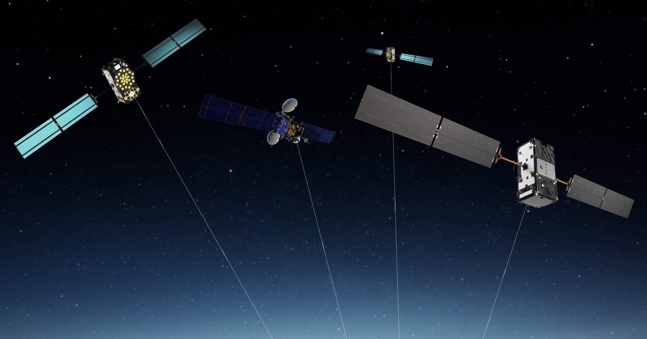
In this scenario, the creation of the European Union Agency for the Space Programme (EUSPA) has as one of its main goals to foster the usage of space technologies, and in particular through Copernicus, the European Earth Observation (EO) programme; and Galileo, Europe’s Global Navigation Satellite Systems (GNSS) programme. These technologies alone can play a key role supporting a digital and green transformation but exploiting their synergetic and combined use will facilitate the generation of innovative solutions bringing a higher societal impact.
Out of many areas where is possible to see the benefits of combining GNSS and EO data, there are some that already provide evident benefits, such as raw materials, agriculture and construction. These domains deserve special attention as their large carbon footprint make the transformation towards a carbon-neutral form of production challenging.
GNSS-EO for raw materials industries
Accurate GNSS-based positioning is essential in mining and quarrying processes, being a key enabler of mine surveying and mapping, machine guidance and control and fleet management applications. On top of these, GNSS is also at the core of the latest innovative trends such as drones and autonomous haulage systems. On the other hand, Earth Observation technologies and Copernicus in particular still have a big potential in raw materials industries, being able to address multiple challenges throughout all mining lifecycle stages, namely exploration, planning and approval, operations and site closure and aftercare. Copernicus and other remote sensing techniques can provide a continuous flow of information for monitoring and management of subsidence, contribute to environmental geologic, biologic, and ecologic data or yield information on socio-economic development and resource availability, useful for site planning, monitoring and rehabilitation.
Multiple synergies for crop and soil management in agriculture
The combined use of EO-GNSS brings concrete benefits also for precision agriculture by lowering environmental footprint and by enabling a more efficient use of manpower, thus increasing productivity and profitability. In particular, EO and GNSS work together in a complementary way in the area of Variable Rate Applications (VRA), which comprise two main elements:
- Creation of prescription maps: EO is fundamental in the definition of prescription maps which are geo-referenced maps containing relevant ground and crop information that controllers leverage such as crop conditions, NDVI, soil moisture, evapotranspiration data, along with land productivity and soil degradation due to excessive cultivation, pasturage, or improper irrigation. In turn, GNSS allows the collection of soil information through GNSS reflectometry for EO data validation.
- Machinery positioning: In order to properly exploit the information provided by prescription maps, an accurate positioning of the VRA machinery is needed. VRA requires the use of GNSS, aerial images, specific crop requirements and other farming management tools to help farmers determine optimum herbicide/pesticide/irrigation doses and positioning of machinery and spray nozzles to save on costs, reduce their impact on the environment and increase crop yields.
Moreover, both EO and GNSS data can support weather forecasting and help farmers to plan for many day-to-day decisions, include crop irrigation, time to fertilize, and what days are suitable for working in the field. In this regard, GNSS meteorology helps improving numerical weather prediction whereas EO supply information on atmospheric variables, also about the past, present and future climate.
Supporting infrastructure construction and civil engineering
The reach of space technologies goes well beyond the typical use case of surveying where GNSS has greatly improved the efficiency of operations, reduced errors and improved the timeliness of survey data and its flow to other facets of construction projects. Information coming from EO and GNSS provides the foundation to support all the main processes involved in the construction lifecycle, including planning, execution, and maintenance of civil infrastructure.
- Planning: Construction planning is the necessary forerunner to the building phase. It includes the definition of work tasks, technology, and construction methods, in which EO can be used to preliminary assess the actual state of the land use and land cover, get detailed information about topography and ground stability, evaluate the environmental impact in terms of air and water quality, or help in the design and optimization of building envelopes and HVAC systems. On the other hand, GNSS is necessary for establishing cadastral surveying or site exploration (topographical mapping).
- Execution: During the execution phase the location information supplied by GNSS precise positioning is used in asset tracking and person-based construction surveying (e.g. staking out, elevation determination). Data collected can include positioning of machinery, tools, construction elements, trucks and other vehicles, IT equipment but also people. Such data is typically utilized within a GIS environment. GNSS is also an enabler of machine guidance being used amongst earthworks with excavators, bulldozers and grading machines, where GNSS augmentation is complemented with inertial sensors to achieve highly precise positioning and will have a key role in autonomous machinery for construction.
- Maintenance: Increased awareness of the economic and social effects of aging, deterioration and extreme events on civil infrastructure has been accompanied by recognition of the need for advanced structural health monitoring and damage detection tools in buildings. In this context, EO is an important technology enabling real-time monitoring of infrastructure displacements but also to keep track of changes in the frequency and intensity of extreme events such as heatwaves, droughts, floods, heavy winds, storms, fires and accumulated ice and snow which affect the performance and integrity of infrastructures. On the other hand, GNSS can provide real-time monitoring of infrastructure displacements, which can be used to provide warnings and alerts and predict possible disasters.
Space synergies key for EUSPA
A synergetic use of GNSS and EO can benefit other markets in which either one or the other technology are currently underused. This is the case, for instance, of transport industries, where GNSS-based precise positioning combined with geospatial data provided by EO can translate into more efficient and direct navigation— key to reducing greenhouse emissions; or in the planning and maintenance of renewable energies infrastructures, supporting also an accurate and predictive monitoring.
Synergies between GNSS and EO will become even stronger thanks to the establishment of EUSPA. The Agency has started its activities in 2021, targeting the promotion of Europe’s Global Navigation Satellite Systems Galileo and EGNOS, together with the downstream markets for the European EO programme Copernicus, the activities of the EU Governmental Satellite Communications (GOVSATCOM) and the Space Situational Awareness (SSA) program. By closely working with stakeholders, industry, service providers and user communities, the Agency’s mission is to ensure the highest return on investment for European space programmes, multiplying the benefits of space applications for European citizens and businesses, boosting innovation and competitiveness, and securing sustainable economic growth.
This article was prepared thanks to the contribution of GSA, the European GNSS Agency.
References
[1] https://www.resourcepanel.org/reports/global-resources-outlook