Rom(EO)
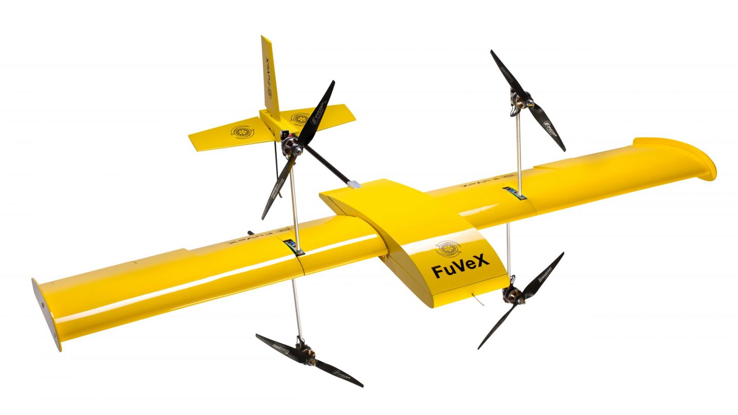
Project ROMEO aims at providing the worldwide first combination of satellite-based earth observation and long-range drones in order to save up to 90% costs in power line inspections. The current solutions for power line inspections regarding vegetation involve manual inspections and manned helicopters, which are not only very inefficient but also expensive. LiveEO and FuVeX, as project ROMEO, propose a combination of satellites and long-range drones to eliminate the limitation of both technologies while boosting their synergies. Satellites can easily monitor country size grids of power lines and identify line stretches endangered by vegetation but are limited in their ability to provide a detailed view. Drones on the other hand can provide this detailed view but lack the ability to cover the entire grid efficiently. By deploying drones only where they are needed most, we estimate a cost reduction of up to 90% compared to conventional helicopter flights. In project ROMEO we will develop a drone integration for the already existing LiveEO vegetation management tool suite and adapt the FuVeX drones for the task of vegetation monitoring. We will develop and test the solution with an already acquired pilot customer to assure the right product market fit. A go-to-market strategy and a business plan round off the project and assure successful commercialization after the end of the project.

This #15PARSEC solution is proposed and further developed by:

Germany
Spain